Bay Area Leans on AI and NASA Tech to Outsmart Wildfires: A Game-Changing Approach
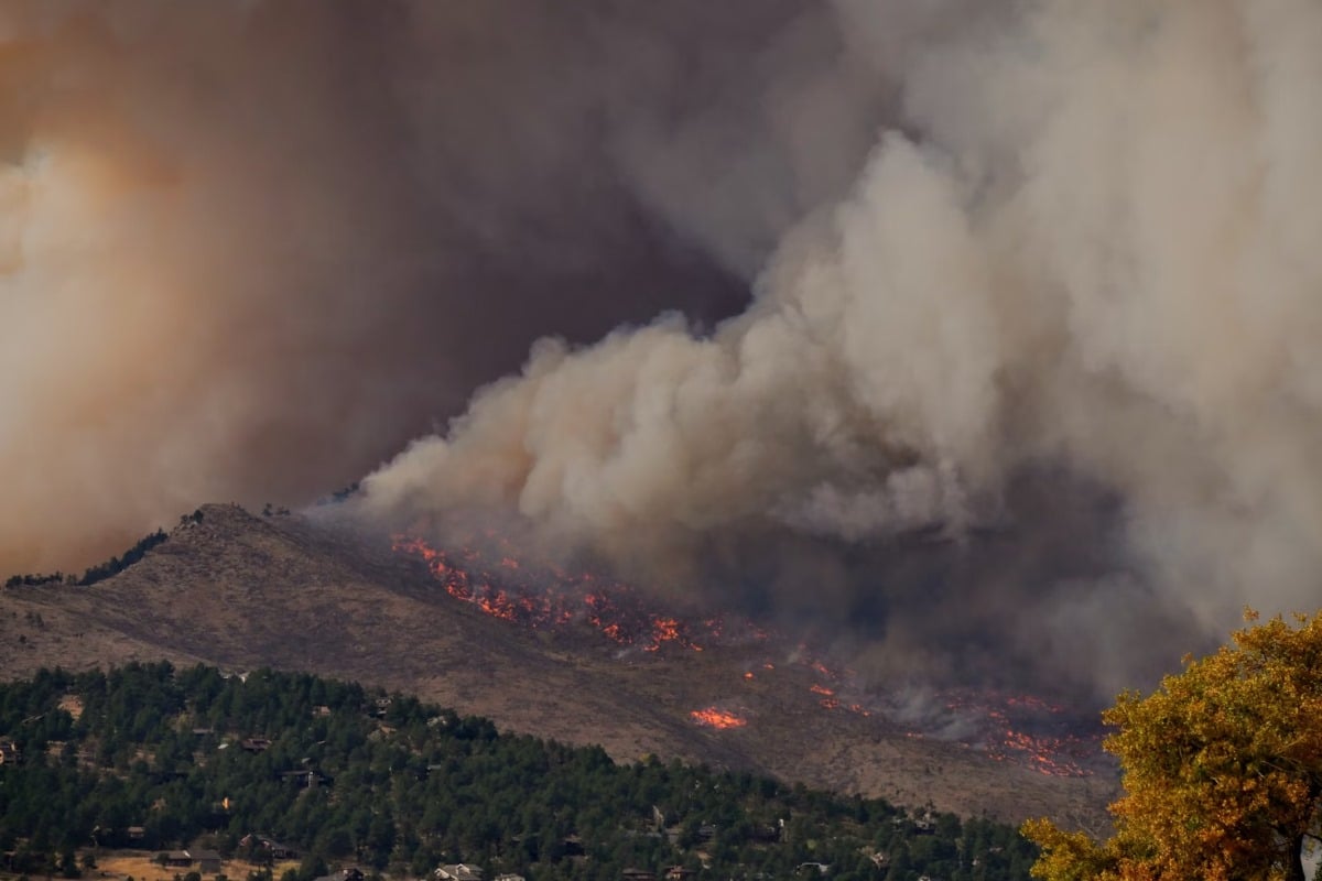
The Bay Area, California, a region known for its innovation and vulnerability to devastating wildfires, is taking a proactive leap forward in fire prevention. Combining cutting-edge artificial intelligence (AI) sensor technology with a groundbreaking ember-risk map developed by NASA, local authorities are bolstering their defenses against increasingly frequent and intense wildfires.
The AI Advantage: Early Detection is Key
Traditional wildfire detection methods often rely on visual sightings or reports, which can be delayed, especially in remote or inaccessible areas. The newly implemented AI sensor network is designed to overcome this limitation. These intelligent sensors are strategically placed throughout the region, continuously monitoring for early indicators of fire, such as smoke, heat signatures, and changes in atmospheric conditions. The AI algorithms analyze this data in real-time, quickly identifying potential fire threats and alerting authorities before a small spark can escalate into a major blaze.
NASA's Ember-Risk Map: Pinpointing Vulnerability
While smoke and flames are obvious signs of fire, embers – small, glowing fragments of burning material – are often responsible for the rapid spread of wildfires. These embers can travel significant distances, igniting vegetation far ahead of the main fire front. NASA's innovative ember-risk map provides a detailed assessment of areas most vulnerable to ember ignition. It considers factors like vegetation density, wind patterns, topography, and historical fire data to identify high-risk zones.
Synergy in Action: A Powerful Combination
The real power of this approach lies in the synergy between the AI sensors and the NASA ember-risk map. By integrating data from both sources, authorities gain a comprehensive understanding of the fire risk landscape. The AI sensors provide real-time alerts, while the ember-risk map helps prioritize preventative measures in the most vulnerable areas. This allows for targeted resource allocation, enabling firefighters and emergency responders to be strategically positioned to address potential threats before they escalate.
Looking Ahead: A Model for the Future
The Bay Area’s adoption of AI and NASA technology represents a significant shift in wildfire management. It moves beyond reactive firefighting to a proactive, data-driven approach that prioritizes prevention and early intervention. This innovative strategy has the potential to serve as a model for other regions facing similar wildfire challenges, demonstrating the power of collaboration between government agencies, scientific institutions, and technological innovators. As climate change continues to exacerbate wildfire risks, such proactive measures will be crucial in protecting communities and preserving natural resources.
The success of this initiative hinges on continued investment in AI technology, ongoing collaboration with NASA, and a commitment to data-driven decision-making. With these elements in place, the Bay Area is well-positioned to mitigate the devastating impacts of wildfires and build a more resilient future.